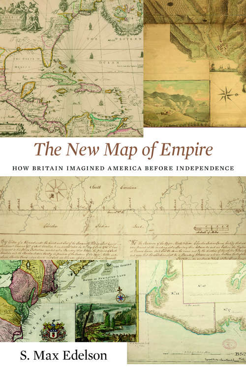
The New Map of Empire: How Britain Imagined America before Independence
By:
Sign Up Now!
Already a Member? Log In
You must be logged into Bookshare to access this title.
Learn about membership options,
or view our freely available titles.
- Synopsis
- In 1763 British America stretched from Hudson Bay to the Keys, from the Atlantic to the Mississippi. Using maps that Britain created to control its new lands, Max Edelson pictures the contested geography of the British Atlantic world and offers new explanations of the causes and consequences of Britain’s imperial ambitions before the Revolution.
- Copyright:
- 2017
Book Details
- Book Quality:
- Publisher Quality
- ISBN-13:
- 9780674979017
- Related ISBNs:
- 9780674972117
- Publisher:
- Harvard University Press
- Date of Addition:
- 08/31/19
- Copyrighted By:
- Harvard University Press
- Adult content:
- No
- Language:
- English
- Has Image Descriptions:
- No
- Categories:
- History, Nonfiction, Technology, Earth Sciences, Politics and Government
- Submitted By:
- Bookshare Staff
- Usage Restrictions:
- This is a copyrighted book.
Reviews
Other Books
- by S. Max Edelson
- in History
- in Nonfiction
- in Technology
- in Earth Sciences
- in Politics and Government
