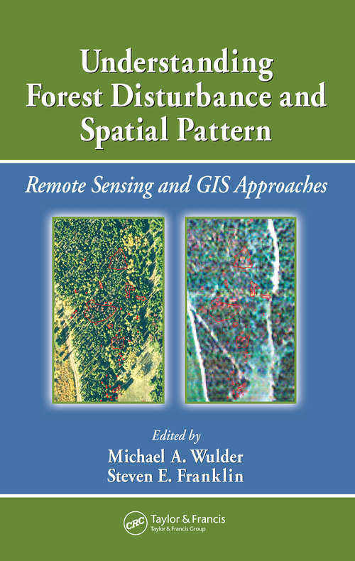
Understanding Forest Disturbance and Spatial Pattern: Remote Sensing and GIS Approaches
By: and
Sign Up Now!
Already a Member? Log In
You must be logged into Bookshare to access this title.
Learn about membership options,
or view our freely available titles.
- Synopsis
- Remote sensing and GIS are increasingly used as tools for monitoring and managing forests. Remotely sensed and GIS data are now the data sources of choice for capturing, documenting, and understanding forest disturbance and landscape pattern. Sitting astride the fields of ecology, forestry, and remote sensing/GIS, Understanding Forest Disturbanc
- Copyright:
- 2007
Book Details
- Book Quality:
- Publisher Quality
- ISBN-13:
- 9781040198797
- Related ISBNs:
- 9780429114434, 9781420005189, 9780849334252, 9780367577834
- Publisher:
- CRC Press
- Date of Addition:
- 11/17/24
- Copyrighted By:
- Taylor & Francis Group, LLC
- Adult content:
- No
- Language:
- English
- Has Image Descriptions:
- No
- Categories:
- Nonfiction, Science, Technology
- Submitted By:
- Bookshare Staff
- Usage Restrictions:
- This is a copyrighted book.
- Edited by:
- Michael A. Wulder
- Edited by:
- Steven E. Franklin
Reviews
Other Books
- by Michael A. Wulder
- by Steven E. Franklin
- in Nonfiction
- in Science
- in Technology
