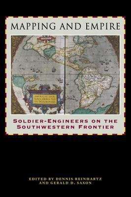
Mapping and Empire: Soldier-Engineers on the Southwestern Frontier
By: and
Sign Up Now!
Already a Member? Log In
You must be logged into Bookshare to access this title.
Learn about membership options,
or view our freely available titles.
- Synopsis
- From the sixteenth through the mid-nineteenth centuries, Spain, then Mexico, and finally the United States took ownership of the land from the Gulf Coast of Texas and Mexico to the Pacific Coast of Alta and Baja California—today's American Southwest. Each country faced the challenge of holding on to territory that was poorly known and sparsely settled, and each responded by sending out military mapping expeditions to set boundaries and chart topographical features.
- Copyright:
- 2005
Book Details
- Book Quality:
- Publisher Quality
- ISBN-13:
- 9780292774414
- Related ISBNs:
- 9780292726161, 9780292706590, 9780292796775
- Publisher:
- University of Texas Press
- Date of Addition:
- 04/05/16
- Copyrighted By:
- University of Texas Press
- Adult content:
- No
- Language:
- English
- Has Image Descriptions:
- No
- Categories:
- Military, Nonfiction, Science, Technology
- Submitted By:
- Bookshare Staff
- Usage Restrictions:
- This is a copyrighted book.
Reviews
Other Books
- by Dennis Reinhartz
- by Gerald D. Saxon
- in Military
- in Nonfiction
- in Science
- in Technology
