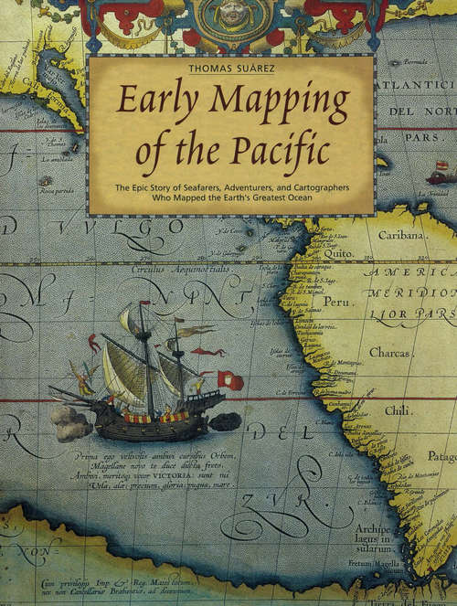
Early Mapping of the Pacific
By:
Sign Up Now!
Already a Member? Log In
You must be logged into Bookshare to access this title.
Learn about membership options,
or view our freely available titles.
- Synopsis
- 290 full-color and b&w maps and early prints. Fully illustrated history of the Pacific Ocean from Portuguese mariners to 20th centuy explorers that includes a cornucopia of rare and beautiful maps of the Pacific Ocean, in particular, Hawaii, Tahiti, Australia, and New Zealand, among other Pacific Islands and territories. The text traces the exploration, and charting of the great ocean, and follows the story from classical times through the turn of the 20th century, telling the tales of seafarers who ventured eastward from Asia and were the Pacific's greatest explorers.
- Copyright:
- 2004
Book Details
- Book Quality:
- Publisher Quality
- ISBN-13:
- 9781462906970
- Related ISBNs:
- 9780794600921
- Publisher:
- Tuttle Publishing
- Date of Addition:
- 12/08/14
- Copyrighted By:
- Charles E. Tuttle Co., Inc.
- Adult content:
- No
- Language:
- English
- Has Image Descriptions:
- No
- Categories:
- History, Nonfiction
- Submitted By:
- Bookshare Staff
- Usage Restrictions:
- This is a copyrighted book.
